
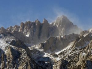
Located in California’s Sierra Nevada Mountain Range, Mt. Whitney stands as the highest mountain peak in the contiguous United States. Formed of granite rock, the mountain range stretches fifteen miles from the 14,024 foot-high Mt. Tyndall in the north to Mt Whitney in the south, which stands at 14,505 feet high with dozens of peaks in this area reaching over 14,000 feet.
First climbed in 1873 by local fishermen from small Owens Valley towns, miners later from the mining town of Cerro Gordo made another trek, this time from the west side. When camping along the Kern River, these groups of early climbers rode horses up from Soda Creek, Crabtree Meadows as far as they could go and then scrambled up the remaining 2 miles of mountain. The eastern side was considered too difficult to climb, so residents in the Owens Valley settled into the Kern River over the Kearsarge Pass from a long dogleg route.
In 1871, Clarence King believed he was the first to climb Mt. Whitney, but he had actually climbed Mt. Langley. He later hired a commercial pack outfit and, with a friend, became the third party to climb the mountain. In 1873, John Muir, hiking alone, became the fourth to hike the mountain and later pioneered the “Mountaineers route.”
Owens Valley citizens needed a passable access trail to other towns like Lone Pine that were located directly 10,000 feet below the peak on the East side of the mountain. Part of this route was from Muir’s exploration, but another narrow foot trail was carved out in 1881, while the upper trail was still not safe for riding and pack animals. Eventually, the town of Lone Pine raised money to create a passable trail to the summit by 1904. Gustave F. Marsh was hired to engineer and build the trail and it was completed and opened on July 22, 1904 and to commemorate this feat with a large bonfire set on the summit to signal its completion.
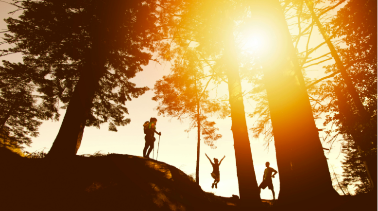
On top of its pioneering history, Mt. Whitney is also known for its trails, technical climbs and scrambles.
Trails
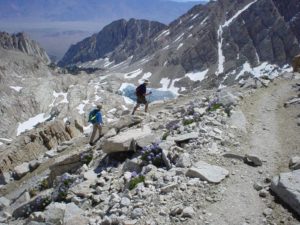
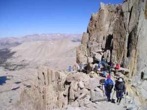
The Whitney Portal, the starting point of the head trail of Mt. Whitney, lies at 8,367 feet and is approximately 11 miles to the summit. While the trail is steep, it was first cleared as a wide and gradually inclined stock route. The summit is three to four acres in size and lies nearly flat, making it an excellent trail for hikers. The round trip is 22 miles with an elevation gain of over 6,100 feet. Permits are required all year and to prevent overuse the Forest Service issues a limited amount of permits from May 1st to November 1st, making it an exclusive destination. A popular trail, the Forest Services holds an annual lottery for hiking and backpacking permits along the trail, with applications accepted from February 1st through March 15th. If there are permits leftover from the lottery, they go on sale around April 1st.
Many hikers plan on staying one or two nights along the trail, but those in good health attempt to reach the summit and return to the Whitney Portal in one day, which requires a “day use” permit that prevents overnight camping gear (including a sleeping bag and tent). Day hikers will leave Whitney Portal before sunrise and hike anywhere from 12 hours to 18 hours that day.
Other hikers attempt a longer approach to Mt. Whitney’s peak, arriving at the west side and connecting to the Mt. Whitney Trail near the summit via the John Muir Trail.
Technical Climbs
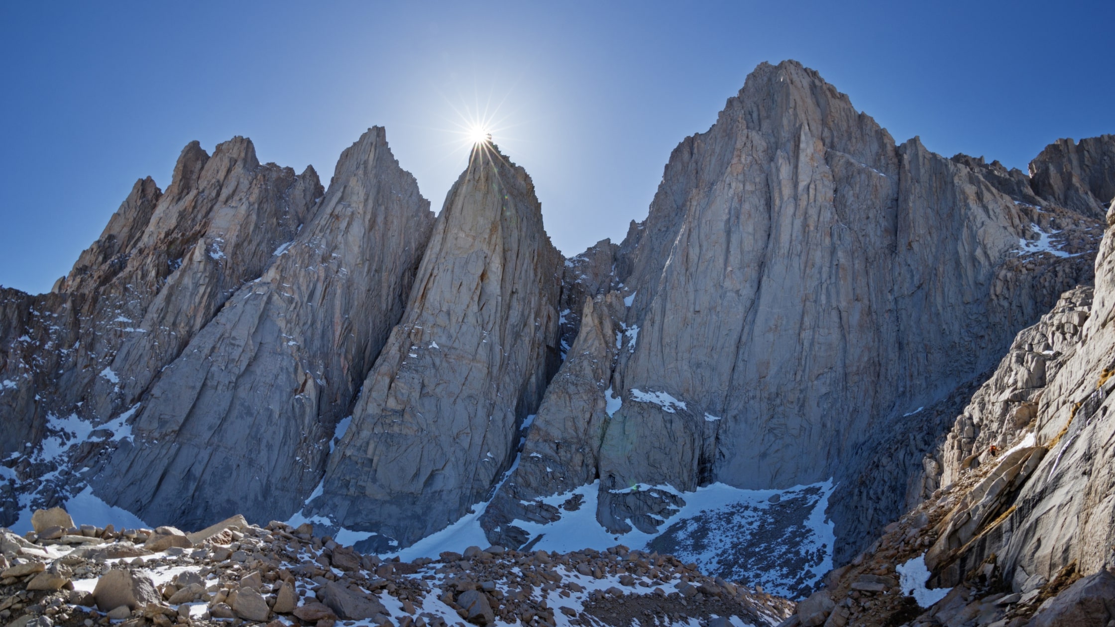
The eastern side of the mountain is very steep and offers numerous climbing challenges. First climbed in 1931, the East Face route is considered one of the Fifty Classic Climbs of North America routes and requires technical free climbing (class 5.7) but is mainly used for class 4. Other routes range to 5.10d.
South of the main summit sits a group of minor, inconspicuous peaks from the west but appear as needles from the east. The routes on these mountains include some of the most challenging big-wall climbing in the high Sierra. Two of these needle mountains were named after participants on an 1880 scientific expedition to the mountain: Keeler needle (for James Keeler) and Day Needle (William Cathcart Day). The latter is now known as Crooks Peak after Hulda Crooks, who hiked up Mt. Whitney every year until she was into her nineties.
Scrambles
On the north side of the mountain’s eastern face, the “Mountaineer’s Route,” a gully first climbed by John Muir, is considered a scramble, class 3 (PD+). The fastest recorded time completed on this route to the summit and back to the portal was 3 hours 10 minutes, by Jason Lakey of Bishop.While the lottery system makes hiking Mt. Whitney seems like an elusive excursion, it keeps crowds off the trail and summit. The reward of making it to the top gives hikers a picturesque view of the High Sierra extending in every direction. Crowning that achievement is the satisfaction of reaching the highest spot in the lower 48 and one of the best hikes in North America.
All photos via recreation.gov